
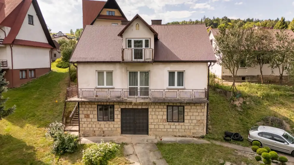
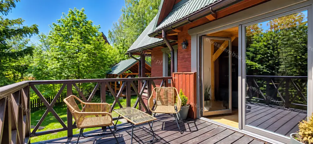
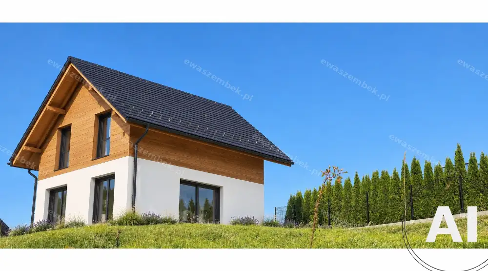
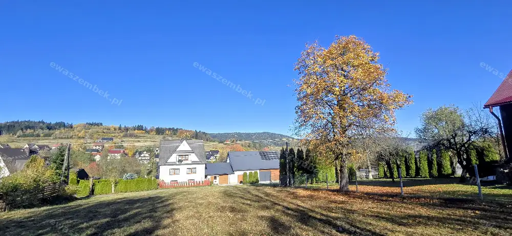
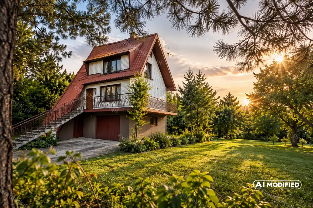
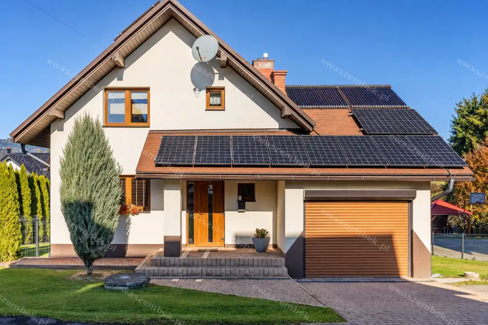
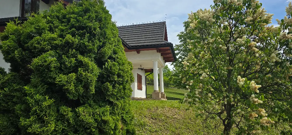
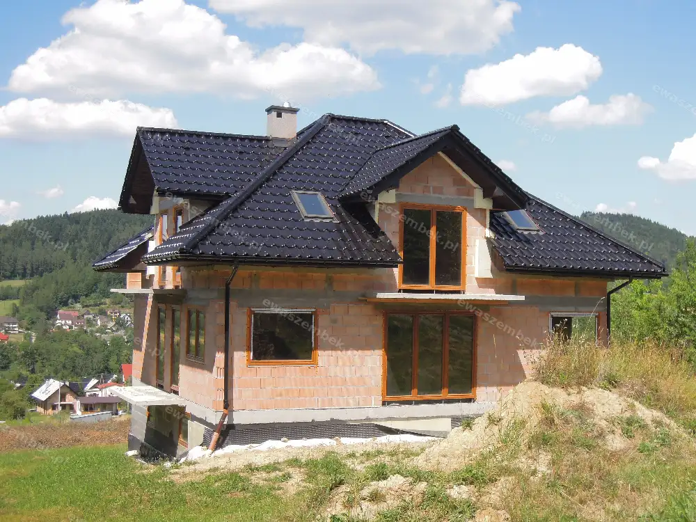
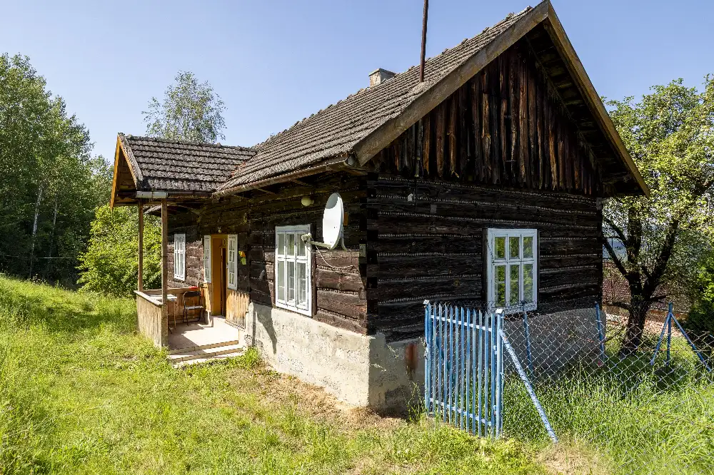
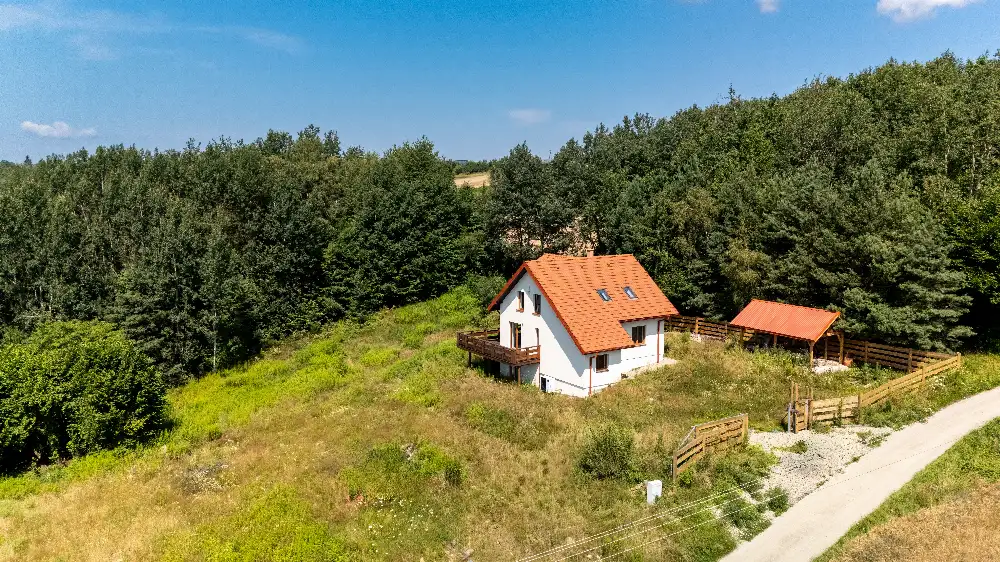
House
347 000 zł
The Western Beskids are a range of the Outer Western Carpathians, from the Czech border to the Poprad. In Poland they cover 15 mesoregions in the Silesian and Lesser Poland voivodeships. The highest summit is Diablak (Babia Góra, 1,725 m). The Ewa Szembek office in Mszana Dolna handles houses, plots and commercial premises across the range.
Numbers follow the classic map of the Western Beskids. The pins are the mountain office’s listings.
Each pin is placed near the range named on the listing.
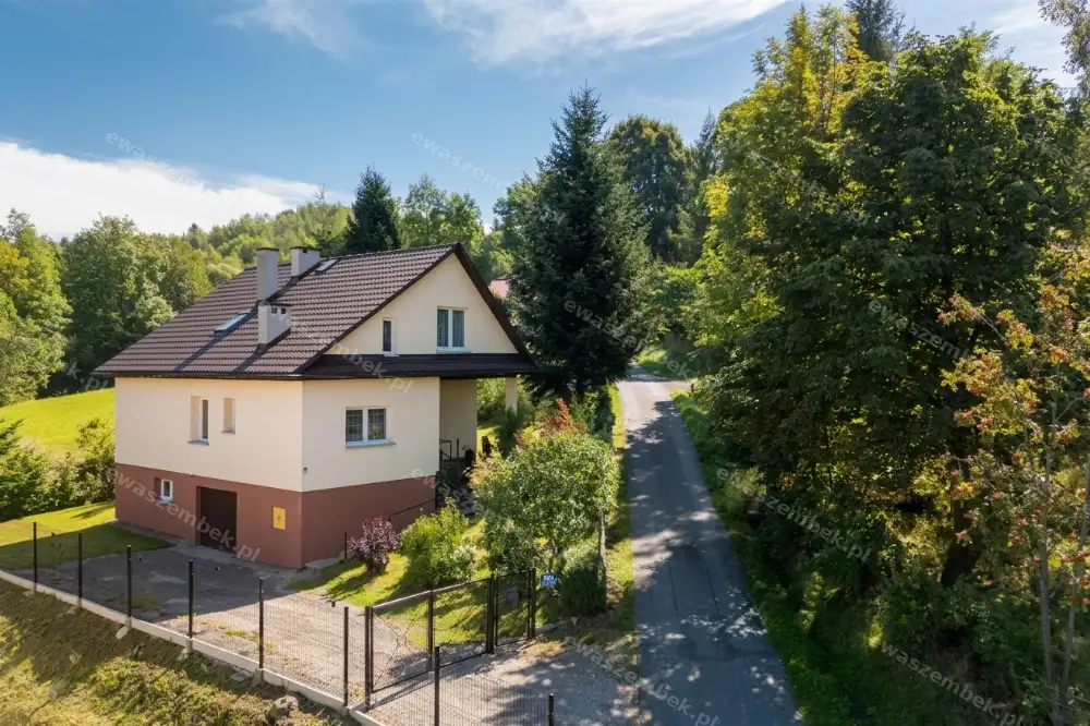
Jordanów

Maków Podhalański
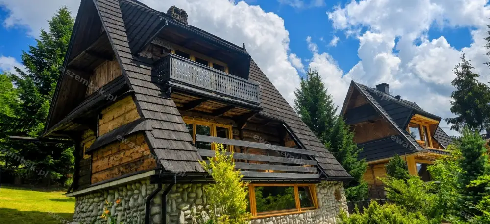
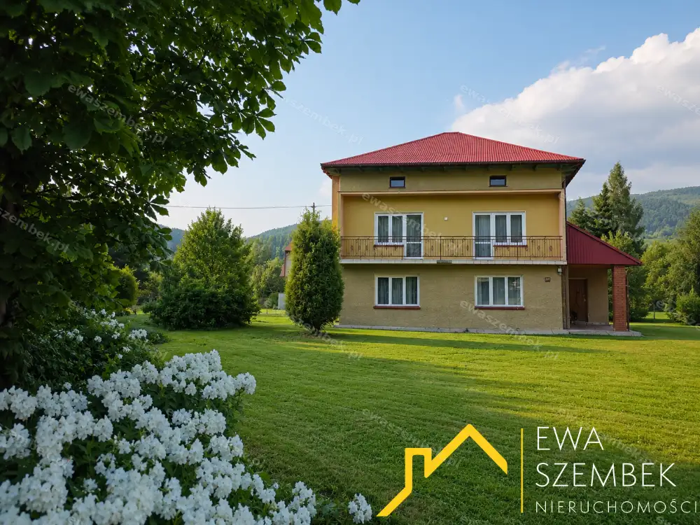
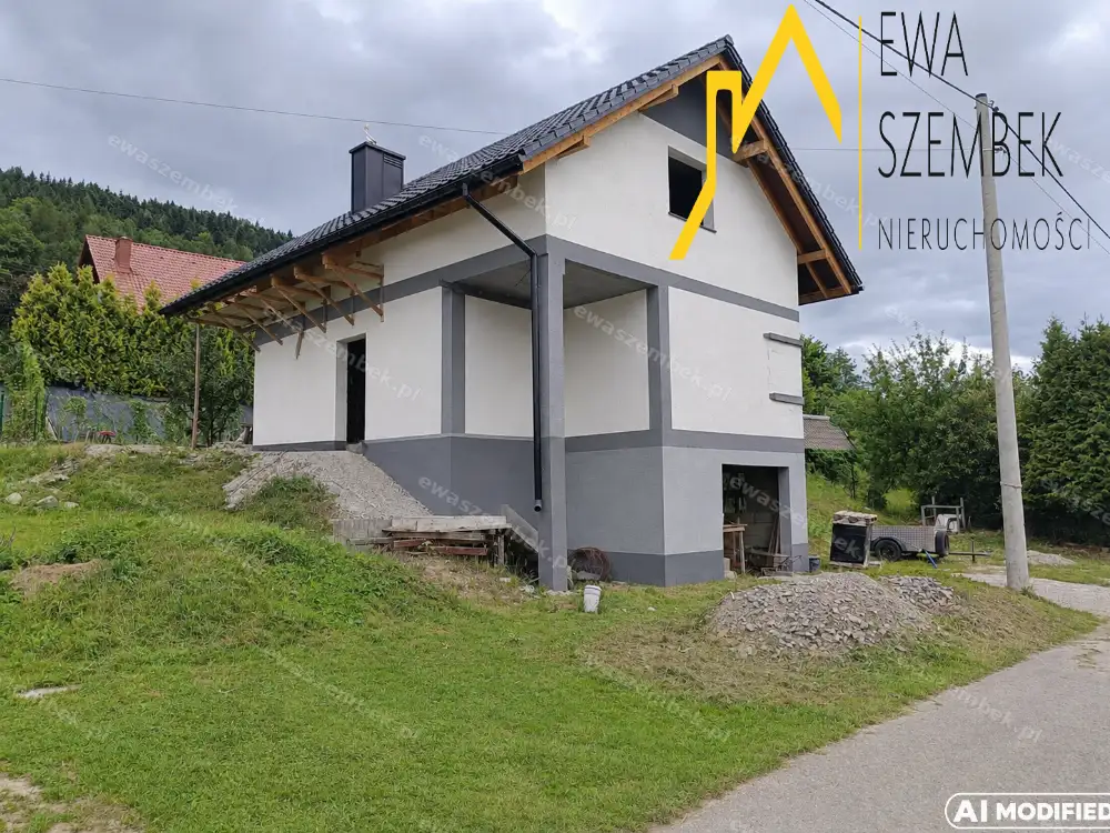
Sucha Beskidzka
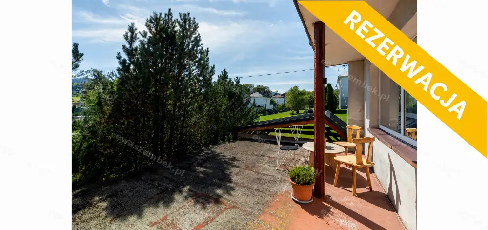
Mszana Dolna
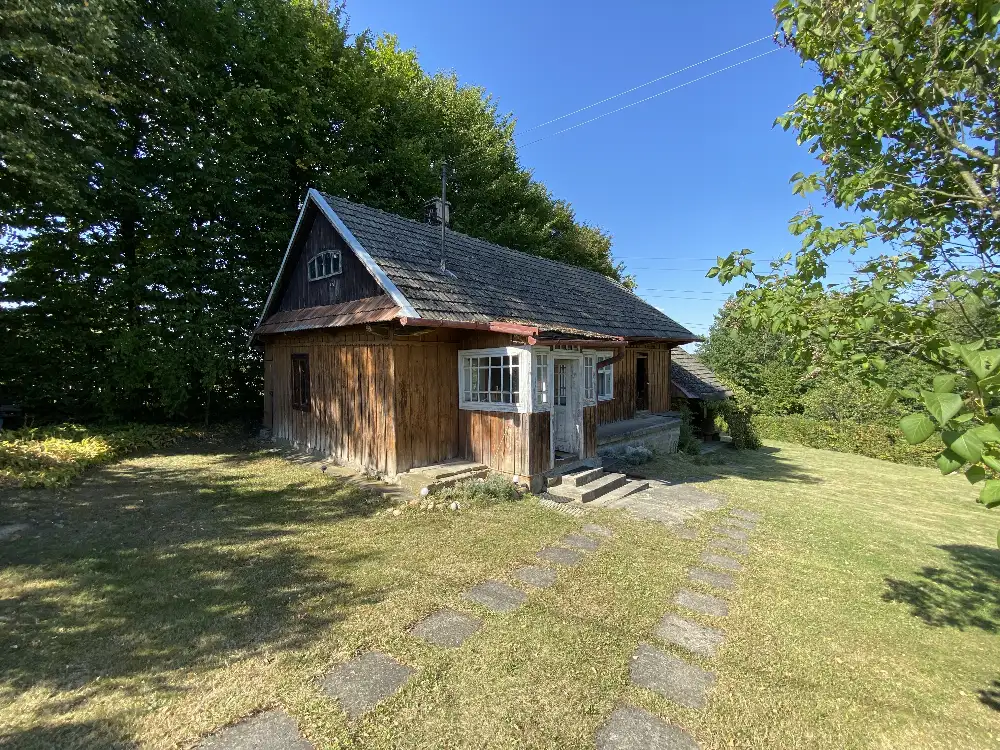
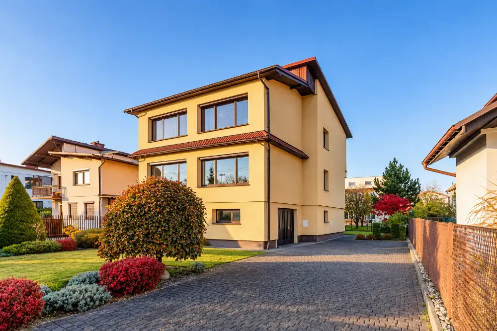
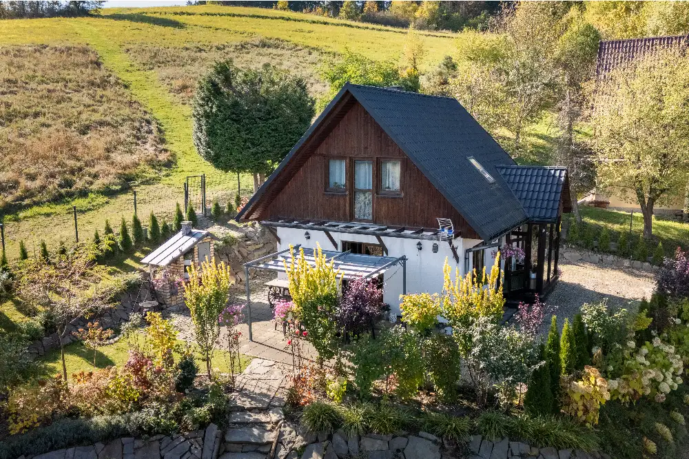
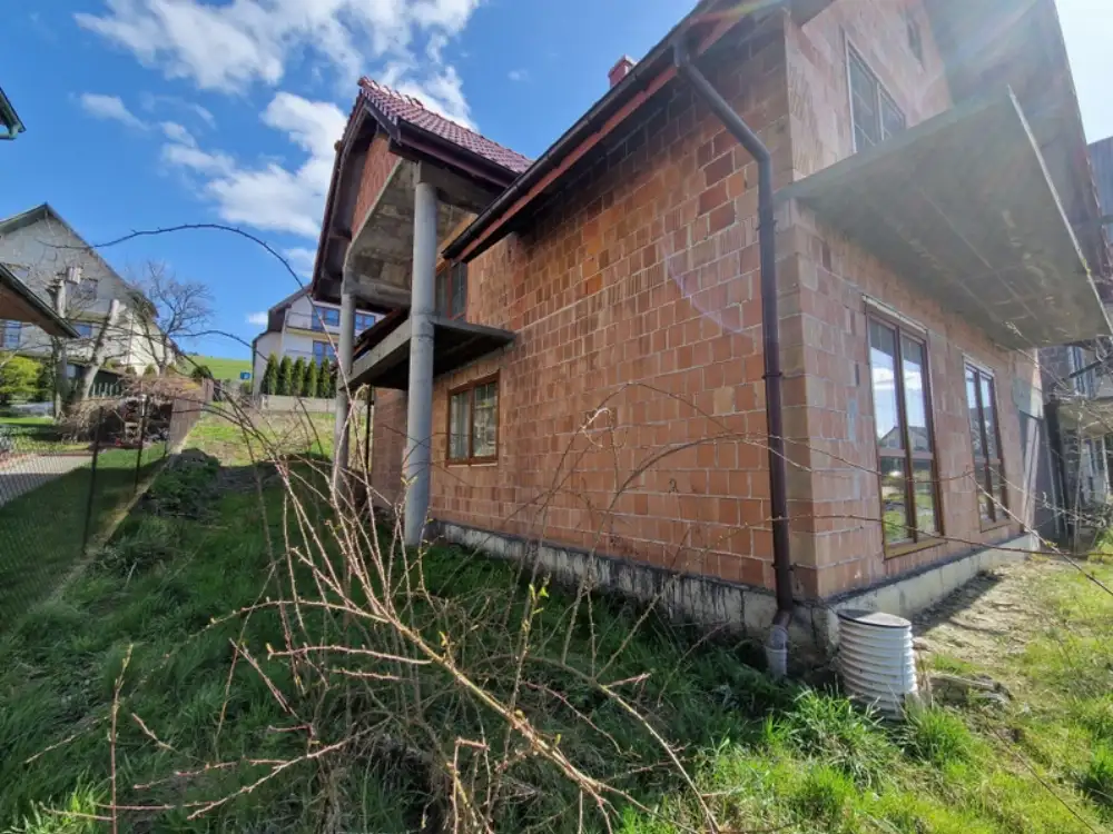

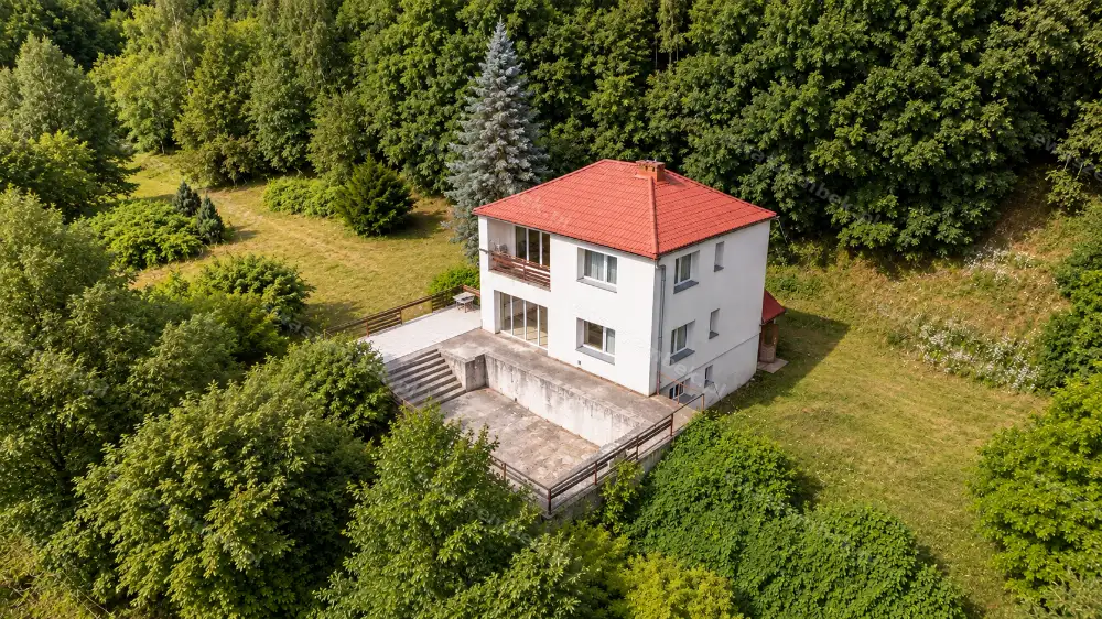
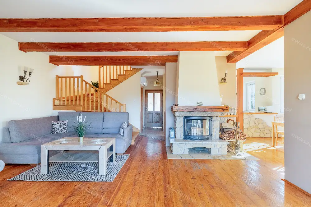
Sucha Beskidzka



Winiary


Mszana Dolna


Poręba Wielka


Mszana Dolna

Mszana Dolna


Poręba Wielka


Koninki

Advisers in Mszana Dolna will match listings before they are widely published.